
New Hanover ZIP Code Coverage
County community-survey material identifies 16 ZIP codes serving New Hanover County. They are search orientations, not parcel lines or municipal boundaries. The table keeps the postal association separate from the actual city or unincorporated geography. For the codes without a stated physical station, the safest label is postal destination rather than a delivery classification.
| ZIP | Areas covered | Post office | Notes |
|---|---|---|---|
| 28401 | Central Wilmington and nearby city addresses | Wilmington Main | Dense downtown and civic core |
| 28402 | Wilmington postal destinations | Wilmington postal destination | Common in PO-box and mailing records; verify USPS |
| 28403 | Wilmington, UNCW area, Wrightsville-adjacent addresses | Wilmington-area delivery | Mailing city and city line can differ |
| 28404 | Wilmington postal destinations | Wilmington postal destination | Verify the specific address |
| 28405 | North and central Wilmington, nearby county communities | Wilmington-area delivery | Check boundary edges with USPS |
| 28406 | Wilmington postal destinations | Wilmington postal destination | Often encountered in mailing records; verify exact delivery |
| 28407 | Wilmington postal destinations | Wilmington postal destination | Verify the specific delivery point |
| 28408 | Wilmington postal destinations | Wilmington postal destination | Verify the specific delivery point |
| 28409 | South and east Wilmington, Myrtle Grove, coastal mainland | Wilmington-area delivery | Address-level USPS verification is needed |
| 28410 | Local special-use or limited-delivery geography may appear | Local postal association | Do not infer delivery class without USPS or AIS |
| 28411 | Northern Wilmington, Ogden, Porters Neck, Murraysville, Bayshore | Wilmington-area delivery | Mailing city and municipality can differ |
| 28412 | South Wilmington and Masonboro vicinity | Wilmington-area delivery | Check USPS and municipal limits separately |
| 28428 | Carolina Beach | Carolina Beach Post Office | 1323 Bridge Barrier Road |
| 28429 | Castle Hayne and northern county | Castle Hayne postal association | County detention and government-area addresses use this code |
| 28449 | Kure Beach | Kure Beach Post Office | 237 Fort Fisher Boulevard N |
| 28480 | Wrightsville Beach | Wrightsville Beach Post Office | 206 Causeway Drive |
ZIP 28402, 28404, 28406, 28407, and 28408 often occur in box or mailing records, but the county research did not establish a delivery class for every address. Note: A county ZIP list describes service geography, not a promise about a particular address.
New Hanover ZIP Code Verification
The USPS ZIP Code Lookup is the correct first check when the goal is a postal code or delivery address. Its By Address form accepts company and apartment fields as optional, requires street, city, and state, and lets the ZIP field remain optional. A result verifies an address and postal assignment. USPS specifically does not treat that result as proof that a named person or organization is located there.
| Company | Optional |
|---|---|
| Apartment or unit | Optional |
| Street address | Required |
| City | Required |
| State | Required |
| ZIP code | Optional for address-to-ZIP lookup |
Use the exact postal spelling returned before passing an address to another source. Unit numbers, directional prefixes, and city labels can all change a result. The postal directory is most accurate when it begins with that address-level confirmation.
New Hanover Postal Map Layer
The county's GIS ZIP service supplies a local ZIP layer, while the broader GIS Maps and Data collection supplies parcel, address, municipal-limit, and other map contexts. Use the ZIP layer to narrow a county area, then select the parcel or address point. GIS answers where the county maps a feature. It does not replace the USPS result for delivery status.
Review the New Hanover GIS ZIP layer when comparing a postal area with county geography.
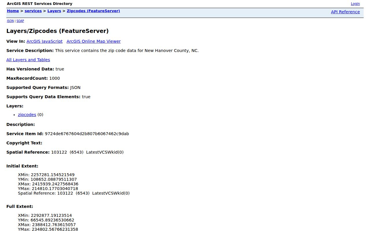
The GIS service is useful for a map-level comparison, but the postal address remains the final check for an individual delivery point.
New Hanover ZIP Code Search Paths
A ZIP can narrow an address search, but it is not a universal person filter. The New Hanover Tax Department property search offers Owner, Address, Parcel ID, and Advanced tabs. During the research pass, its live portal displayed a maintenance message, and its visible navigation did not expose a ZIP-wide field. Do not assume that an Advanced search will accept ZIP input until the portal is available and its fields can be checked.
- Verify the postal address with USPS, including unit information where relevant.
- Use the GIS ZIP layer to locate the county area and municipal context.
- Search the tax or parcel record by the situs address, parcel ID, or owner name when the portal is available.
- For registration research, use the official voter lookup for a known person or request the defined public file by the permitted precinct or district route.
- Move to the New Hanover street directory when the question becomes a street-by-street record trail.
The official voter file can be selectively requested by precinct or district. It is not described in the research as a general ZIP-based household roster. Tax, voter, and GIS sources each answer different questions and should remain labeled that way.
New Hanover Postal and Parcel Records
Keep four labels in a search notebook: USPS mailing city and ZIP, GIS municipality, tax situs, and the legal description from a recorded instrument. A Wilmington mailing address can sit in unincorporated New Hanover. A beach ZIP can identify a post-office community. A tax owner's mailing address can be somewhere other than the parcel. These distinctions prevent a postal-directory result from being treated as an ownership or occupancy answer.
The Tax Department ties owner, mailing address, situs address, parcel ID, characteristics, sale information, and assessed-value information to an account. The Register of Deeds records instruments and legal descriptions. GIS maps geometry. None of those fields should be silently substituted for another, especially near a municipal boundary.
New Hanover Coastal Postal Context
Carolina Beach, Kure Beach, and Wrightsville Beach have their own named postal associations in 28428, 28449, and 28480. Elsewhere, 28401, 28403, 28405, 28409, 28411, and 28412 can reach across Wilmington and nearby unincorporated communities. That mix is part of New Hanover's coastal geography. It also means that a city name shown in a mailing address should be checked against the parcel's municipality.
Use the county municipal-limits layer and the address point together when jurisdiction matters. Carolina Beach, Kure Beach, Wrightsville Beach, Wilmington, and unincorporated county territory are separate map classifications. A municipal office, permit system, or code case may therefore have a different custodian than a nearby address with a similar mailing city.
Note: Postal geography is designed for mail movement, not for defining the limits of a town or county office.
New Hanover ZIP Code Boundaries
ZIP boundaries and city limits answer different questions in New Hanover County. USPS confirms a delivery address. The GIS municipal layer identifies whether a feature is in Wilmington, Carolina Beach, Kure Beach, Wrightsville Beach, or unincorporated territory. The parcel record identifies a tax situs, while a deed identifies a recorded instrument and legal description. Start with the source that matches the question instead of treating a ZIP as a jurisdiction.
- ZIP
- A USPS delivery geography used to sort mail. It is not a city-limit or property boundary.
- ZIP+4
- An added postal segment that narrows mail sorting for a particular address range or delivery point.
- PO-box ZIP
- A ZIP used in postal-box or mailing records. The delivery type for an individual address must be verified with USPS.
- Unique ZIP
- A postal designation associated with one organization or site. Do not apply that label locally without an official USPS or AIS result.
- Carrier route
- A postal sorting route, not a resident list or a municipal district.
USPS AIS can provide delivery type, city and state, county, delivery statistics, ZIP+4, and address lookup, but its encrypted viewer does not supply an exportable county boundary roster. The safest process remains address verification first, then a county GIS or tax search appropriate to the next question.
New Hanover ZIP Code History Checks
Older address records often predate modern ZIP use or use streets that have changed names. Wilmington's historical directory material preserves Mulberry and Grace plus numbered-street variants, and pre-1883 entries may use a between-streets description. A modern ZIP code should be treated as a search aid for a current address, not a way to rewrite an older record.
Compare the historical street name, cross streets, house number, and parcel or plat context before adding a current postal label. That keeps a useful ZIP code directory tool from obscuring the address language found in a directory, map, deed, or newspaper.