
Trace a New Hanover Street
Start the New Hanover address trail with the address exactly as it appears on a tax or GIS result. The address chain moves from a recognized address point to a parcel, then to the owner and recorded instruments. Those records do not create a complete list of people at an address. They do give a careful way to identify an ownership trail, test a name already known, and locate older address references. Keep a short worksheet with the situs address, parcel ID, owner name, mailing address, date, and source for each result.
- Validate the address point in the county GIS service, including its street suffix, direction, unit, city, and ZIP.
- Search the Tax Department record by address and copy the parcel ID, owner, situs address, and mailing address separately.
- Use the parcel ID in GIS and the owner or legal description in the Register of Deeds index.
- For a known person, use the official voter lookup as a person search, not as a household list.
- Check the relevant permit or city code record, then use a historical street index when the question concerns an earlier period.
Each step answers a narrower question. The tax account links an address to an assessed parcel, the deed index identifies recorded parties, and a historical index can show how a street was described at one point in time.
Validate New Hanover Street Addresses
The New Hanover GIS Addressing service is useful before a street-by-street search because it records the county's address-point fields. Available fields include house number, street name, street type, direction, city, state, ZIP, unit, address type, structure type, utility type, edit date, source, and GIS identifiers. A variation in any of those pieces can explain a failed match. The GIS Maps and Data page also links parcel, development, flood, and land-development mapping tools.
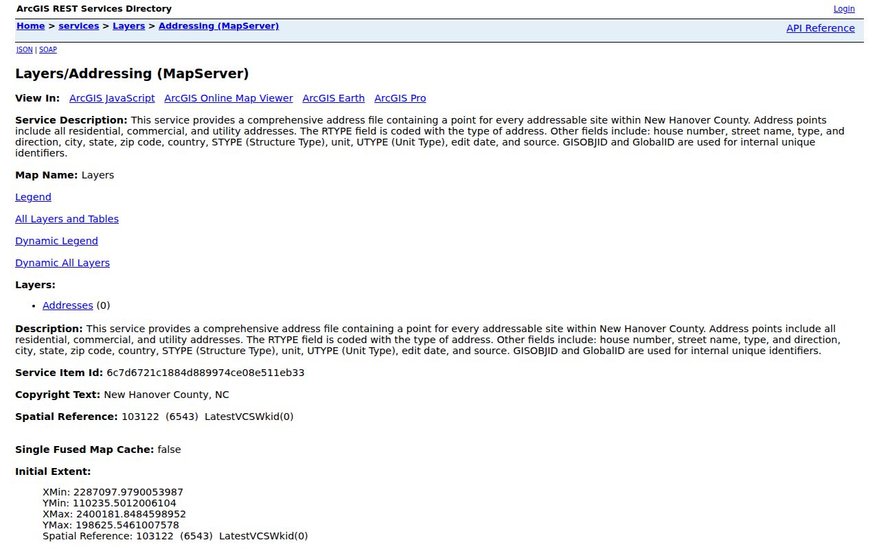
An address point confirms that the county recognizes a location and its format. It is not a survey, a legal description, or evidence that any particular person lives there.
New Hanover's addressing standards use a master street-name table and a master address table. New addresses are checked against unique address points and block-by-block ranges. That system is especially helpful when a directional prefix, a unit, a city label, or a street type differs between two records.
Note: Save the county spelling, direction, unit, and ZIP together because each detail can change a later search result.
Search New Hanover Parcels by Address
The New Hanover Tax Department property search provides Owner, Address, Parcel ID, and Advanced modes. The county describes the portal as a source for assessment information, property characteristics, ownership, and sale dates and prices. Characteristics and ownership information are updated weekly, while the portal's landing material identified assessed values as January 1, 2021 values. During the research pass, the live portal displayed maintenance, so a current record card should be checked directly rather than assumed from a saved result.
| Tax search field | How to use it |
|---|---|
| Owner | Use a person or entity name to find parcels associated with that owner. |
| Address | Start with the situs or property address for a street-by-street search. |
| Parcel ID | Use the parcel identifier as the stable bridge between Tax and GIS results. |
| Advanced | Check the live portal for its current fields because those controls were unavailable during maintenance. |
The account's mailing address and situs address should never be merged. The situs is the parcel location. A mailing address can point to an owner, agent, fiduciary, lender, or an outdated destination, so it is a lead rather than proof of residence. Maps are illustrative, and the county cautions that parcel alignment is not exact.
- Parcel ID
- A county identifier for a tract or account that helps connect tax and GIS records.
- Situs address
- The physical property location used for parcel and map searching.
- Plat
- A recorded map that can show lots, blocks, subdivisions, and street layout.
- Criss-cross directory
- A reverse address listing that can organize historical entries by street and number.
New Hanover Street Records at a Glance
A New Hanover address search needs several record types because no one public source answers every street question. Use the table as a division of labor. An owner on a tax card, a party on a deed, and a name in a voter result are distinct findings that should remain distinct in notes.
| Address record | What it can show | New Hanover access |
|---|---|---|
| Tax parcel card | Owner, mailing and situs addresses, parcel ID, value, characteristics, and sale data. | Tax property search, subject to the maintenance caveat. |
| GIS parcel and address | Address point, parcel geometry, municipal context, and thematic layers. | County web maps and REST services, not a legal survey. |
| Recorded deed index | Grantor, grantee, document type, legal description, date, and book or file reference. | Register of Deeds portal and public office search. |
| Voter result | A registered voter's address and election information when returned for a named person. | State lookup or a file request under state procedures. |
| Permit or code case | Project, date, and case context tied to an address where publicly displayed. | County map or Wilmington city system, each with its own scope. |
| Historic street index | Older address descriptions and named occupants for a particular directory year. | Local History Room and selected digital collections. |
For a records request, the North Carolina Public Records Act provides the statewide inspection framework. A request should identify existing records, the address, date range, and preferred copy or inspection method. It does not require a custodian to create a new street roster.
Note: The best street-by-street result labels every source and date instead of turning separate records into one unsupported conclusion.
Follow New Hanover Street Deeds
The New Hanover Real Estate Look Up can search grantor and grantee names, dates, book and page, instrument or file number, and a property description. The property-description choices include subdivision, lot, block, section, map, phase, unit, and free text. Search the current owner and legal description after the tax result is in hand. Then open the document image where available and record the parties, instrument type, recording date, legal description, and book or file reference.
The Register of Deeds office is the custodian for New Hanover's recorded land instruments and explains the public-record scope.

The online index can be partial and images can include redactions. The office, rather than the portal alone, is the fallback for a difficult deed search. The Register of Deeds does not perform title searches or give legal advice.
A deed of trust, release, easement, covenant, plat, or corrected instrument may affect a parcel history without transferring ownership. Read the recorded instrument type before treating a name as an owner change.
Use New Hanover Street Voter Results Carefully
The North Carolina Voter Search requires first name, last name, and a voter-status choice. Middle initial, year of birth, and county are optional narrowing fields. Search a known person after the address and ownership work, then compare the returned residential or mailing address with the record already collected. The lookup is a name tool. It is not a way to generate a whole household list from a street address.
Under N.C. Gen. Stat. §163-82.10, defined public voter information can include address, precinct, registration date, party affiliation, and participation history. Full date of birth, Social Security information, driver-license information, email, and identification copies are not public. Protected participants can have an address shielded. A non-match can reflect a name variant, status setting, recent move, maintenance, or no registration.
The official voter file is different from the lookup screen and may be requested through State Board procedures. Even then, it does not make every resident on a New Hanover street visible. Children, guests, unlisted occupants, and protected participants may not appear.
Note: A registration result identifies public election information for a named person, not a verified household roster for the street.
Review New Hanover Street Permit Evidence
County permit information can add timing to a New Hanover address trail. The county's building-permit map covers current-calendar-year permit points, is refreshed monthly, and has municipal exclusions. It is supporting evidence, not a historical permit archive. Wilmington code cases are separately searchable by address or case number through the city system, but city limits matter before a result is treated as relevant.
The county building-permit map service identifies the current-year permit layer and its query capability.
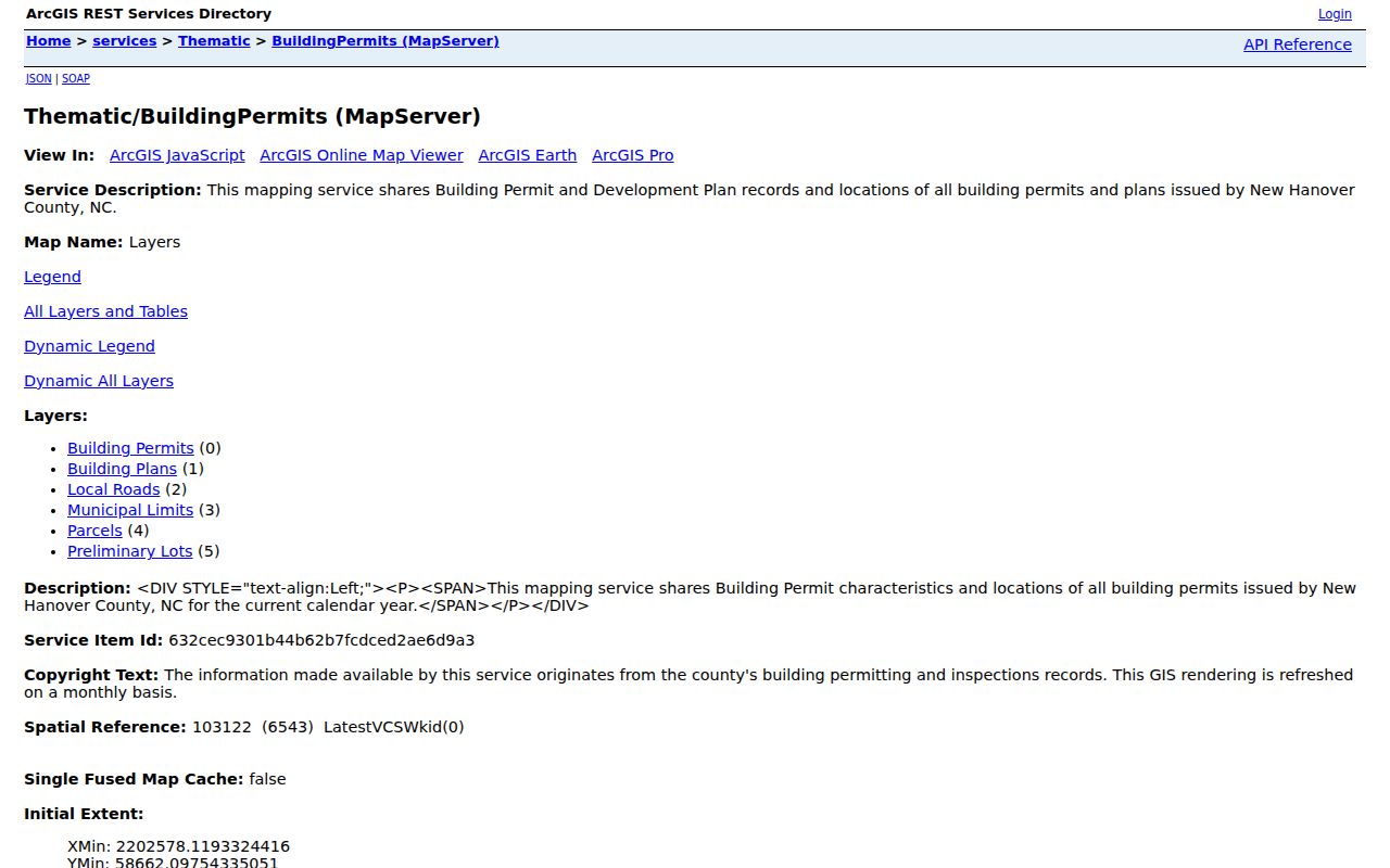
A permit may connect a project and date to an address, but it does not establish a complete resident history or substitute for a deed.
Wilmington's code-enforcement service describes the city route for address and case-number searches.
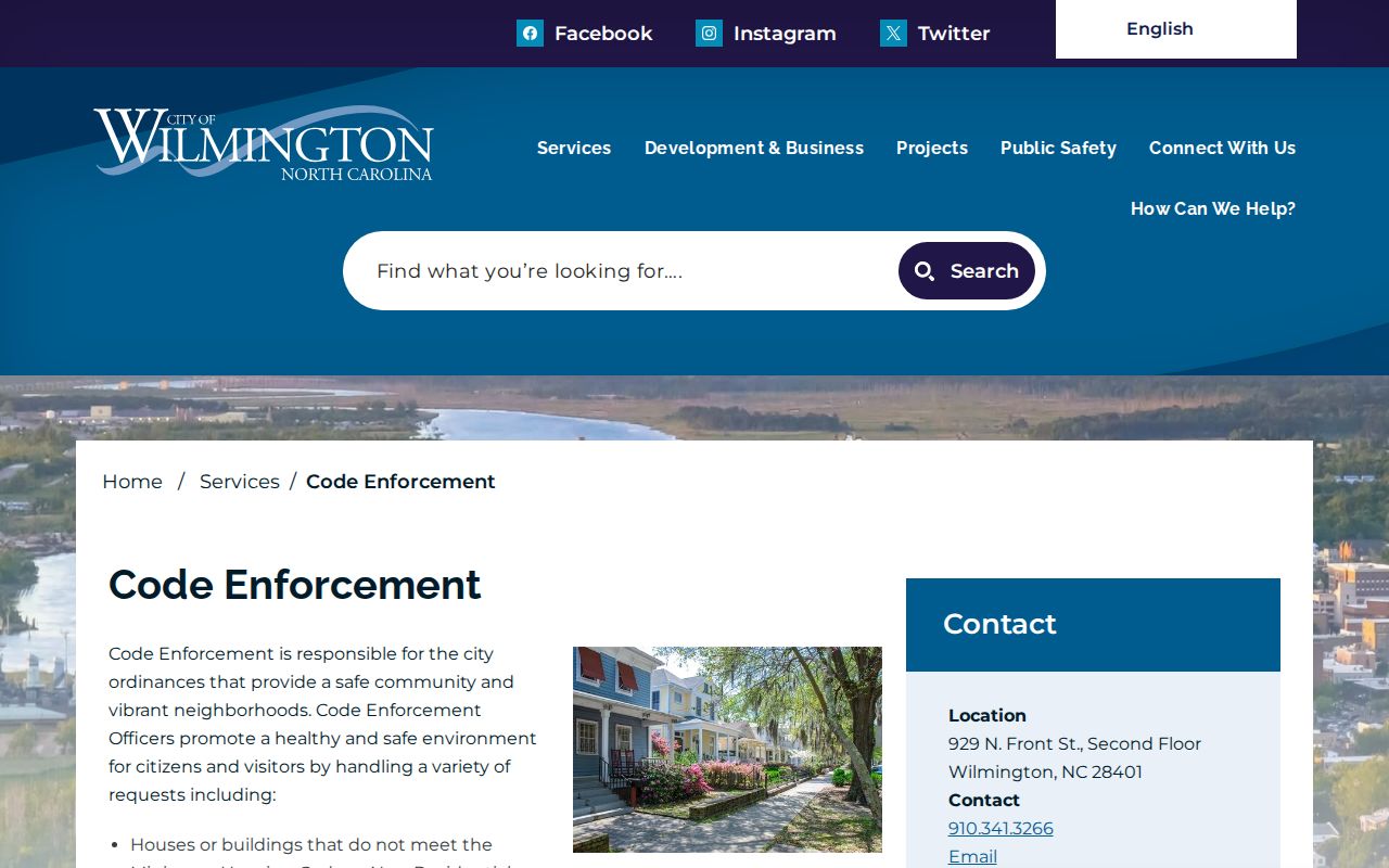
Keep city-only cases separate from county permits. The municipal boundary is a research fact, not just a label on a map.
Read Older New Hanover Street Names
Modern spelling can fail against a historical New Hanover street search. The 1900 Wilmington street guide records the local grid, the Mulberry/Grace name variant, and numbered-street variants. Before 1883, directory entries often describe an address as being between two streets instead of giving a modern number. Use the historical street name, cross streets, and house number together before trying the contemporary GIS format.
The New Hanover County Public Library Local History Room holds directories, maps, newspapers, and reverse-address material for research in person. Its collection is non-circulating, and its microform readers and scanners can make a fragile directory usable. Historical street sections are valuable for a particular year, but a missing entry may reflect an omission, a changed address, a different municipality, or an indexing problem.
The 1900 guide places numerical streets north and south of Market Street and describes Second Street extending eastward toward higher numbers. Compare those patterns with the recorded legal description and an address-point result. No official source located during research establishes a single countywide renumbering year, so it is safer to document the exact variant seen in each source.
Note: Preserve old spellings and “between” descriptions in notes because changing them too early can hide the very record being sought.
Check New Hanover Street Boundaries
A New Hanover address search also needs a geography check. County records can fall in Wilmington, Carolina Beach, Kure Beach, Wrightsville Beach, or unincorporated territory. The municipal boundary service distinguishes those areas, and a Wilmington mailing label does not prove that a parcel is inside Wilmington. Different jurisdictions can use different permit and code systems.
The county municipal-limits service supplies the classification used to test that boundary question.
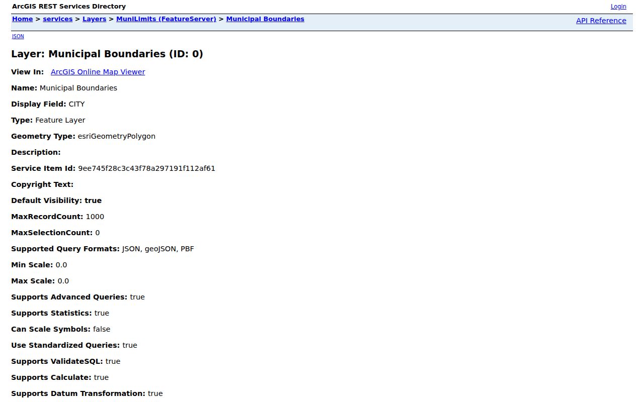
ZIP is a separate delivery geography. County material lists 16 ZIP codes serving New Hanover, but a ZIP boundary, municipal limit, parcel boundary, and mailing city are not interchangeable.
Limits of a New Hanover Street Directory
Address records have real limits. A tax card usually identifies an owner or account contact, not every person present at a location. A deed records a transaction, not a current household. The voter lookup returns registration information for a named person when public fields and protections allow it. Utility customer data and DMV address records are not public street-directory sources. Treat every match as a record to verify with the custodian, not as a reason to make claims about a person's private life.
Lawful use. New Hanover address records support personal, lawful research and civic transparency. Do not use them to stalk, harass, intimidate, or harm another person.
The Register of Deeds, Tax Department, GIS, election officials, and library preserve different parts of an address story. Keeping those limits visible produces a more accurate street-by-street result and protects people whose information is incomplete or protected.